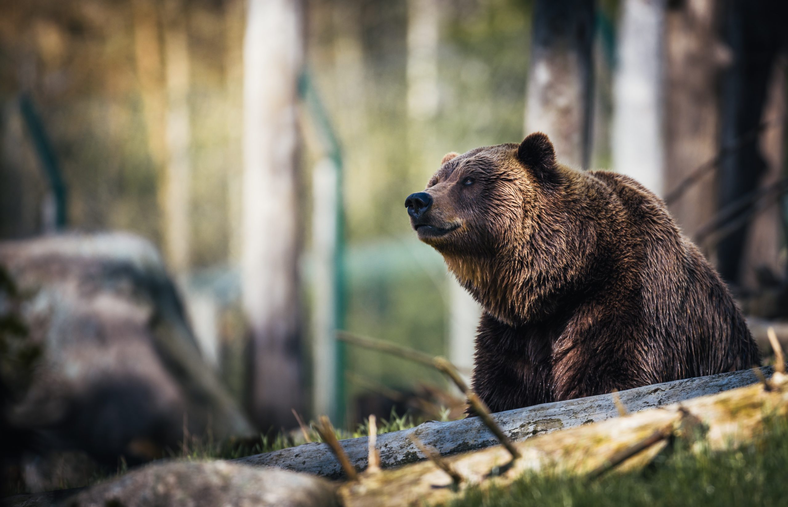
Spotting bears in real time
Seeing brown bears in the wild is one of the highlights of visiting Alaska’s Katmai National Park. In summer, you can stand on a platform and watch bears snatch sockeye salmon out of the Brooks River, spot them meandering through the forest in the park’s Pacific Coast backcountry or swoop in via helicopter to watch them munching clams in Hallo Bay. But to see bears in more remote locations, or in situations where it would be dangerous to get close, visitors can turn to Katmai’s multiple bear cameras which broadcast live footage. There’s even an underwater river camera, which often catches bears paddling happily in pursuit of salmon. Organization
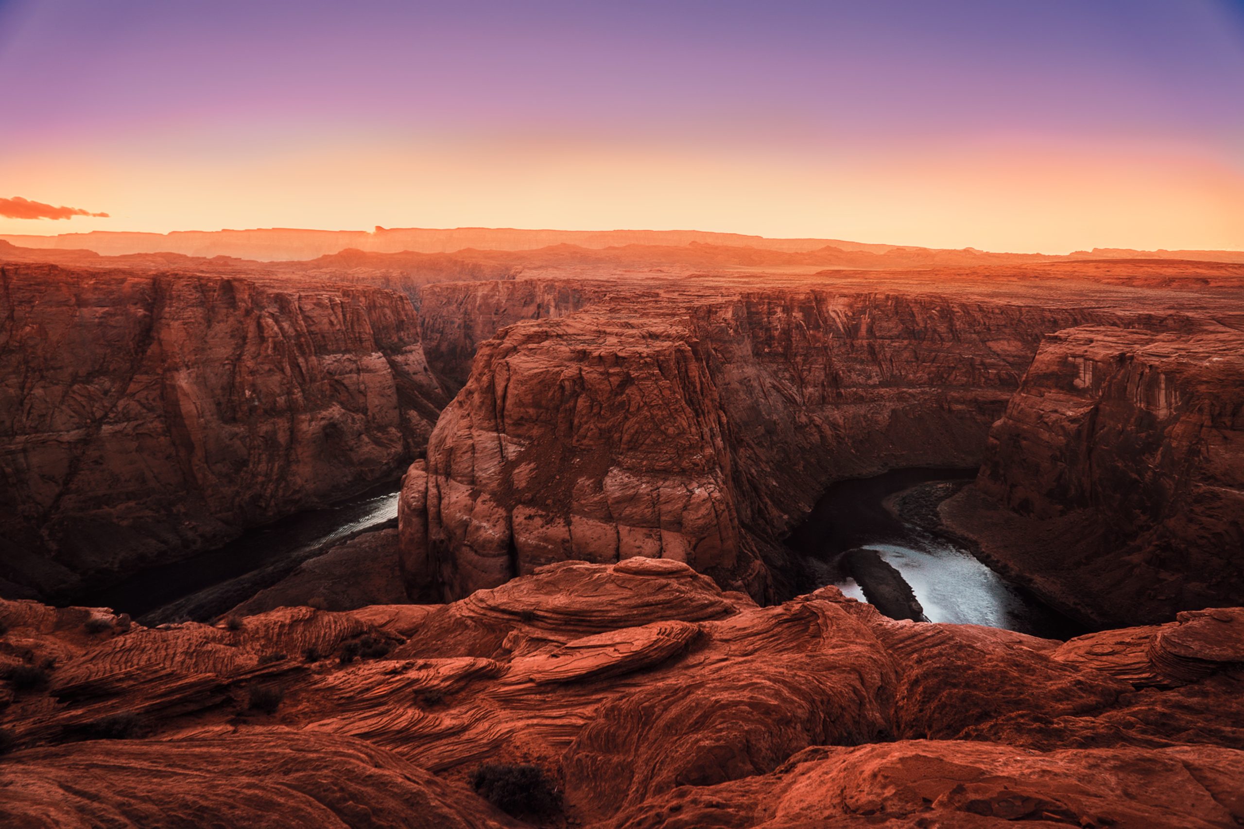
Listen Park Podcast
An increasing number of national parks are producing podcasts, perfect for listening to on your drive in, when rural roads may mean no radio or cell phone service. The Grand Canyon’s podcasts can help you plan your hikes or teach you about park geology and wildlife. Listen to Bryce Canyon’s podcast to learn about prairie dogs or hear about the park’s early railroad history. Mammoth Cave’s podcast teaches listeners about the park’s ubiquitous bats. Yosemite’s podcasts include interviews with a park search and rescue leader and members of the park’s small community of residents. Grand Canyon's Mammoth Cave's Yosemite's podcasts
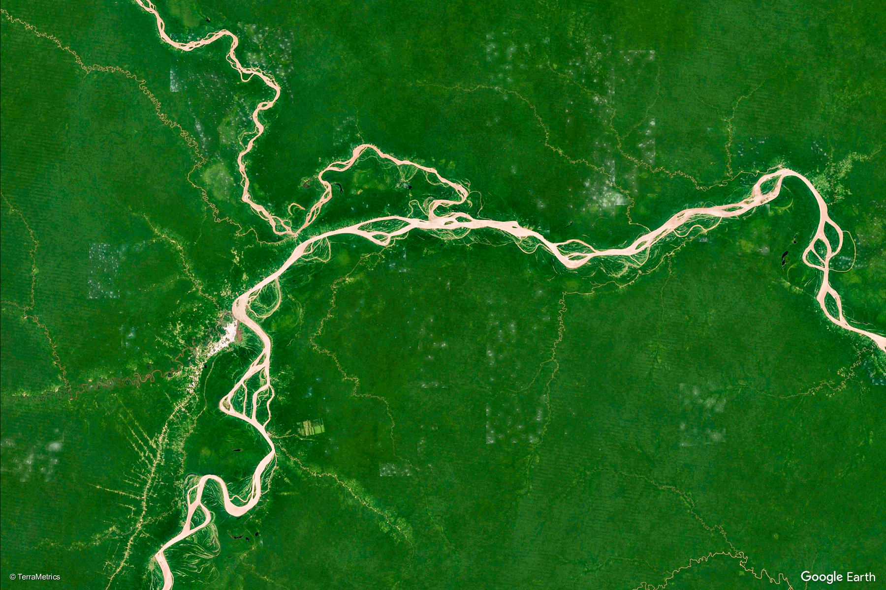
Satellite maps against deforestation
Carlos Mazabanda, coordinator of the Amazon Watch team in Ecuador, wanted to study the impacts of the El Mirador copper mine, a project led by the Chinese-owned company Ecuacorriente SA. However, the analysis of this remote Amazon region of Ecuador is risky and complex. Using satellite images, they could study deforestation more safely, finding it has destroyed 9,928 hectares. Mazabanda has partnered with Digital Globe, Planet and Amazon Conservation Team, which have the licenses to obtain satellite images. Once obtained, the user can detect the initial deforestation processes, such as human settlements Organization
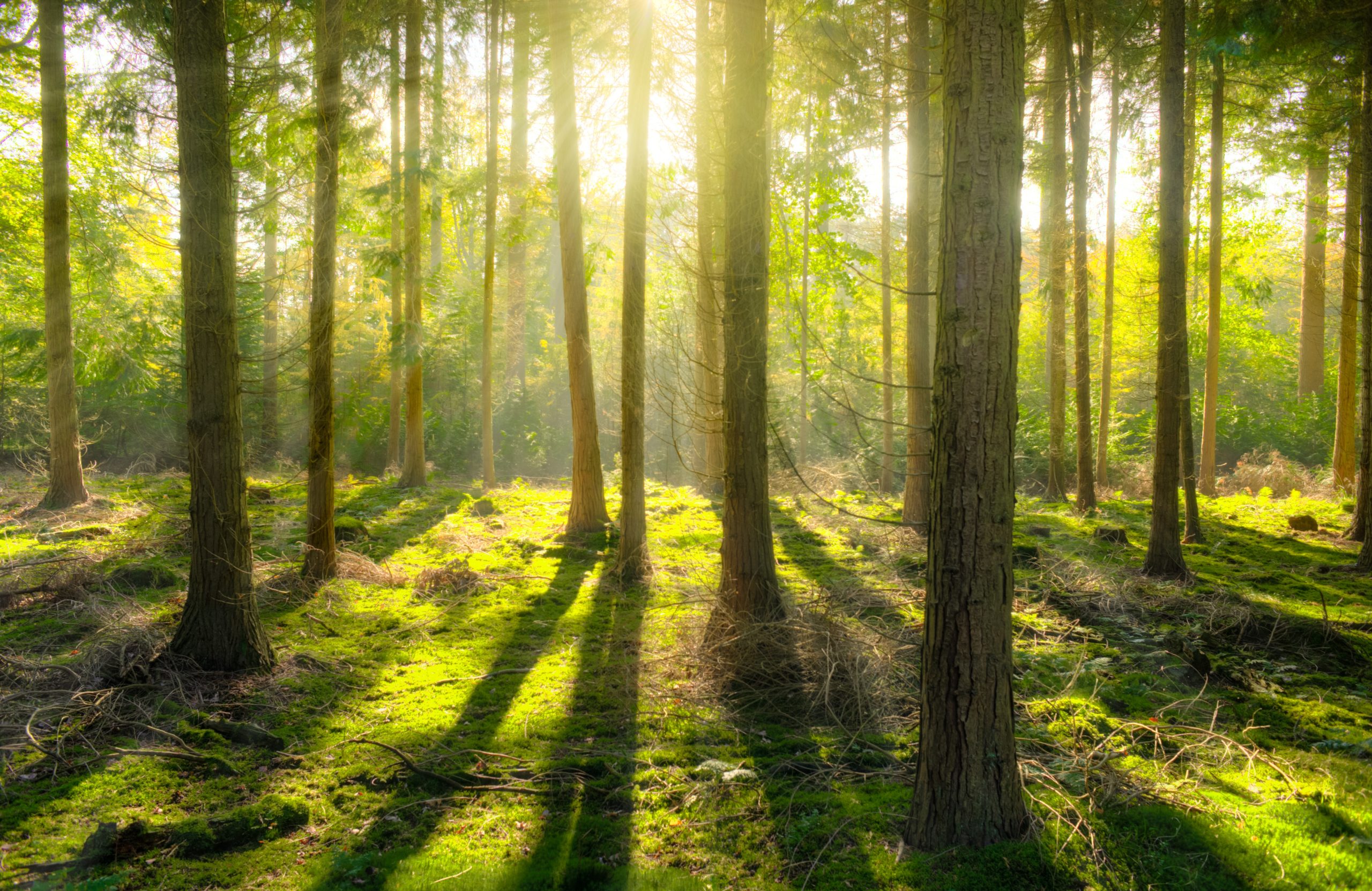
Tree reserve control software
In Congo near Brazzaville, Africa, a trial program should establish the effects of deforestation on indigenous populations living in the rain forest. A research group from the University College London (UCL) has collaborated for this purpose in the development of Sapelli, a tool to monitor tree reserves and thus help local communities in the evaluation and protection of their environment. "Working with affordable, smart mobile phones allows us to offer ten of them to a community," explains Muki Haklay, co-director of a citizen science program at UCL. Haklay recognizes that a Smartphone, or smartphone, is not a panacea. However, he believes that the possibility of using this technology to document and transmit information about life in the jungle is a step in the right direction, since it offers vulnerable populations, living in remote regions, a link with the outside world. Organization
Sustainable fishing areas
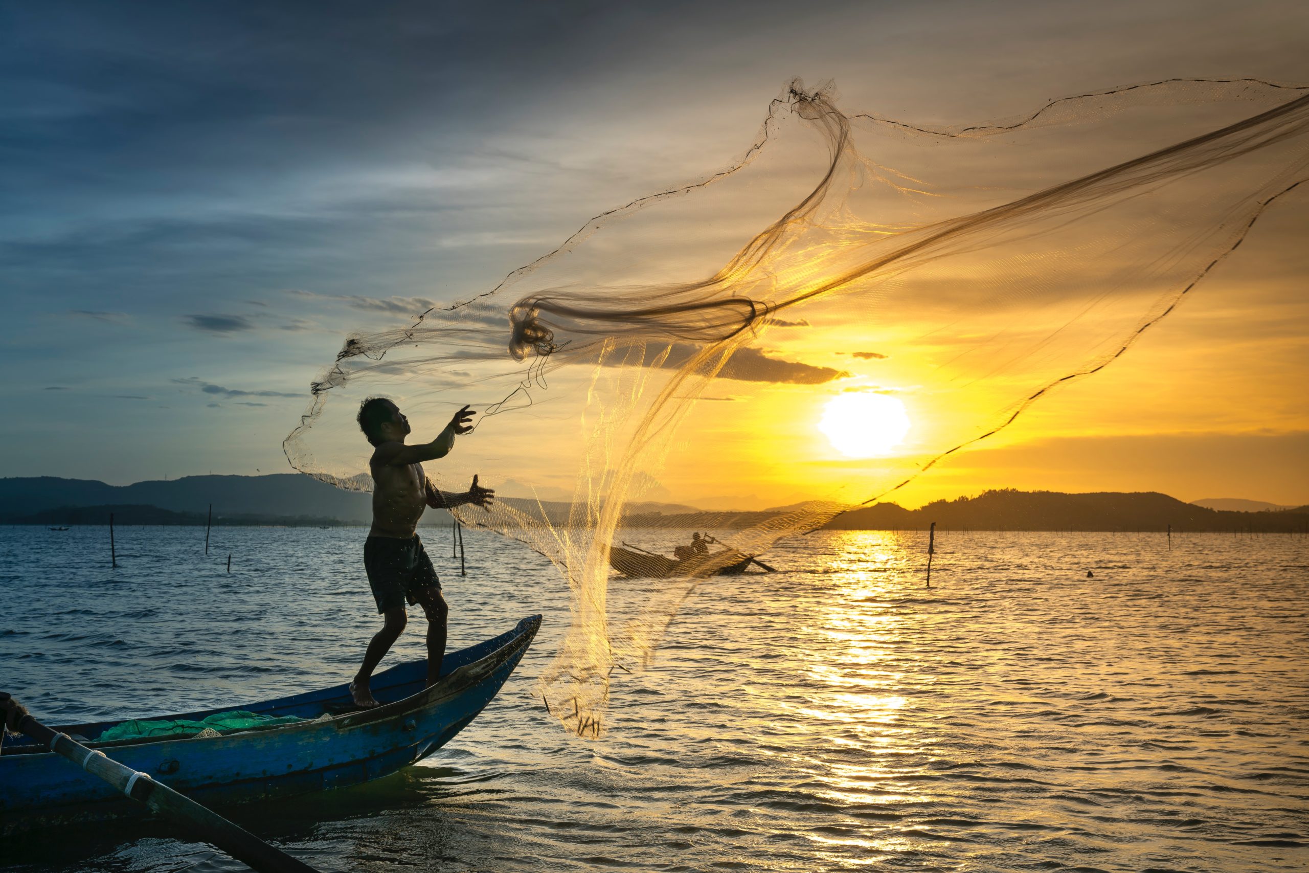
On a small, peaceful island in the middle of the Caribbean, local fishermen did not need large amounts of data to understand that fish stocks were in decline. Large fish barely fell into the nets and the coral reefs near the coast were no longer teeming with marine life, as in the past. To deal with this situation, both the government and the inhabitants of the former British colony of Barbuda decided to take action. First, they asked for help from the Waitt Institute, a non-profit organization that plays a leading role in an environmental project called "Blue Halo." The institute, led by Ayana Elizabeth Johnson, works under the motto "use the ocean without exhausting it." Due to the vital role that fishing plays in the lives of the islanders - ten percent of the population depends directly on this activity for their income - Johnson soon realized the importance of a correct delimitation of the areas on the map. To do this, instead of limiting himself to formal meetings in his office, he visited different stakeholders directly, showing them SeaSketch mapping software on the ground. Organization
Conservation in Virtual Reality
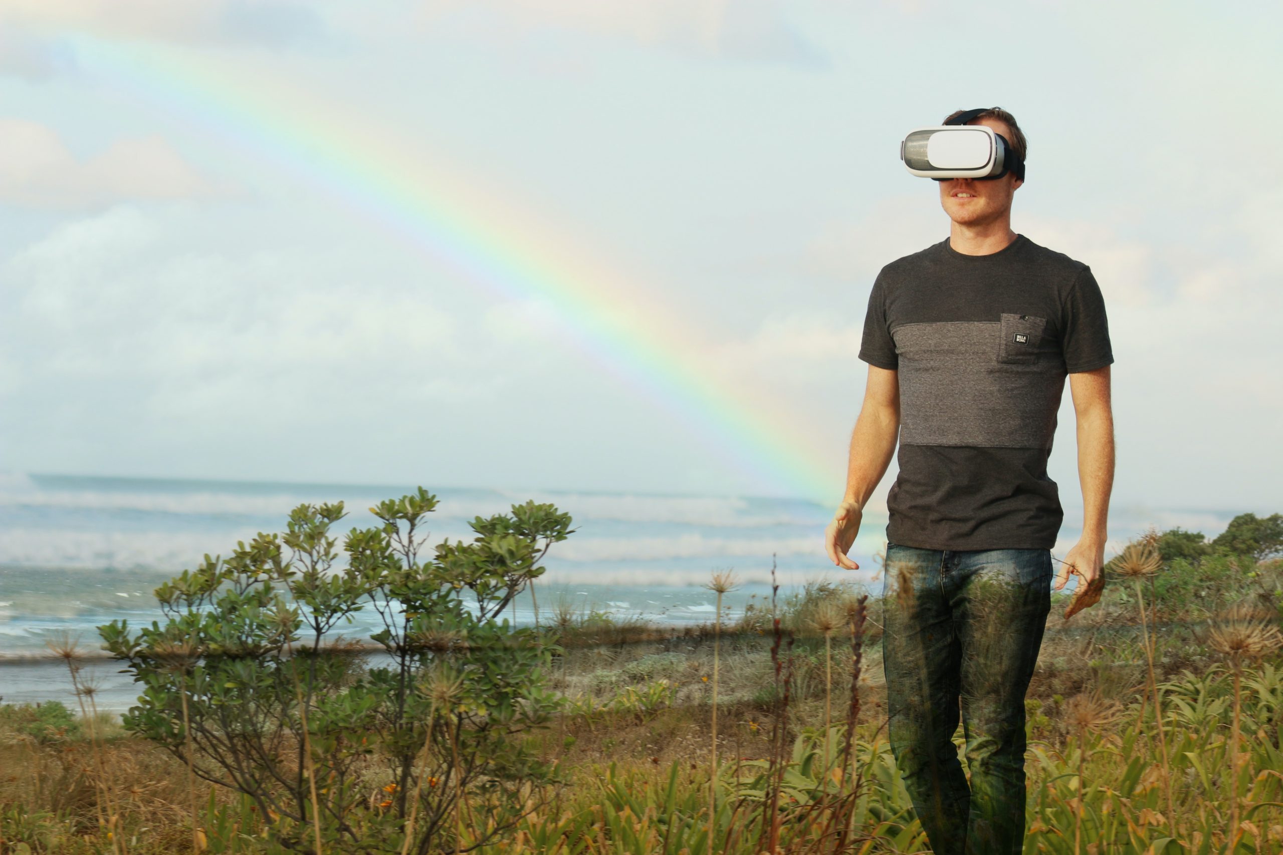
From Indonesia’s coral reefs to the Amazon rainforest, Conservation International non profit organization uses virtual reality to immerse viewers in vital conservation efforts around the world, and to meet the local heroes who make it possible. You can enjoy virtual reality films like “Drop in the Ocean” is an interactive, social virtual-reality experience that immerses you deep in the water — and directly into the plastic pollution crisis plaguing the world’s oceans or “My Africa” narrated by Academy Award-winning actress Lupita Nyong’o and presented in stunning virtual reality, transports viewers to an elephant sanctuary in Kenya, where a community is reknitting the bonds that have long enabled people and wildlife to coexist. Organization
